.svg)

Welsh Cistercian Way, Wales
Wales


.svg)
The Welsh Cistercian Way: Caerphilly to Caerphilly (circular) – 672 miles, 3 months
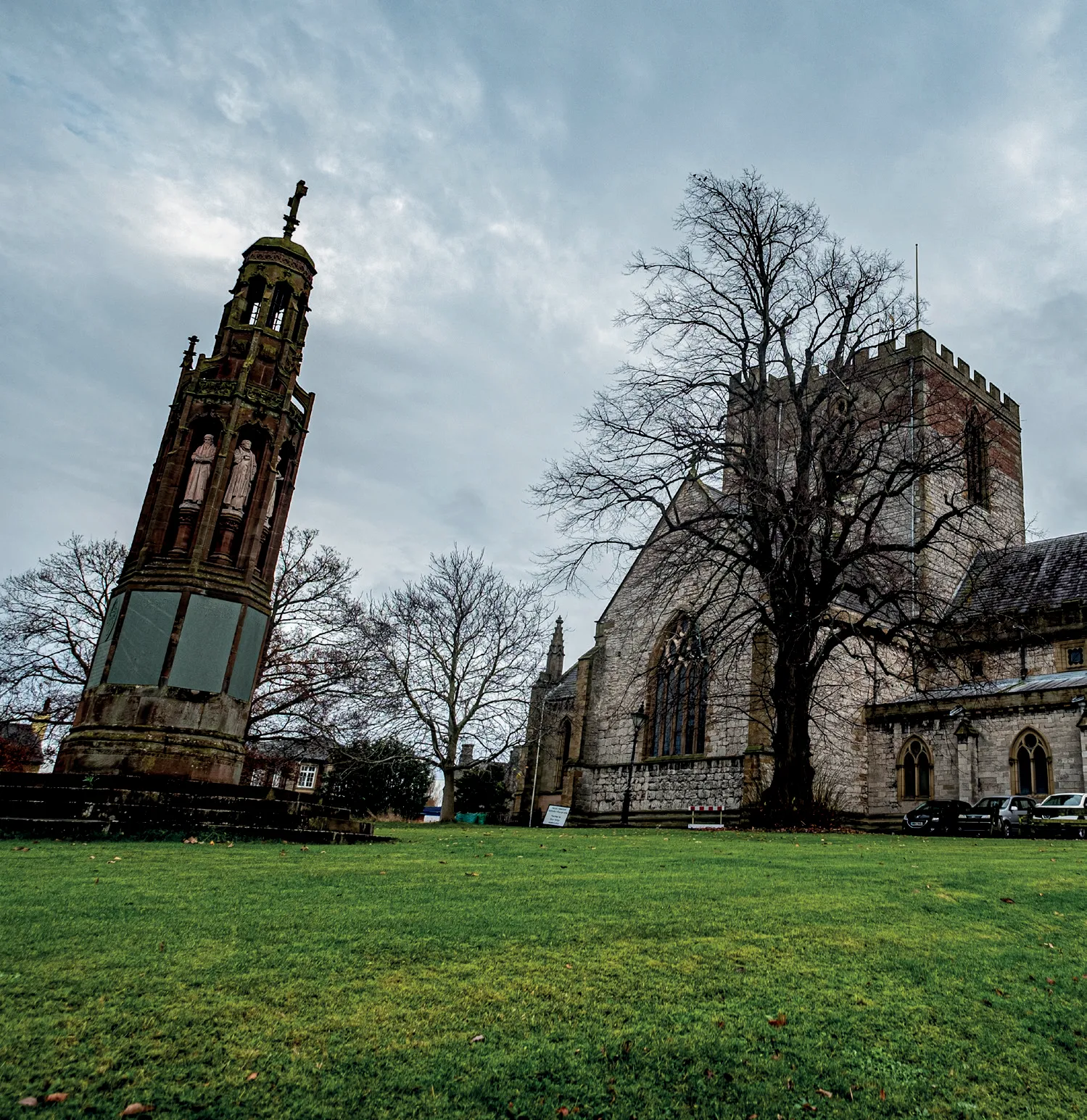
Immerse yourself in the Cistercian heritage and natural lands of Wales. If you don’t know Wales at the end of this pilgrimage you probably never will. The North section follows the North Wales Pilgrims Way from Conwy to Basingwerk Abbey via St Asaph Cathedral, over hills and along dramatic seascapes.
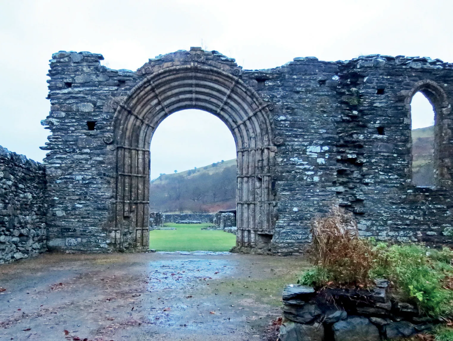
The Eastern route is from Basingwerk Abbey up the verdant Vale of Clwyd and over the not insurmountable mountains to Valle Crucis. You follow the Ceiriog Way to begin with, then some of Offa’s Dyke, before Strata Marcella Abbey and a women’s house of Llanllugan Abbey and its famous medieval stained glass.
Then at Cwm-hir the last Welsh Prince of Wales is buried, and soon after you get lost in books at Hay on Wye. The mountains follow, then it’s down the Wye Valley to Tintern Abbey. The Southern section of the route takes you over more hills in South Wales, but this time above valleys with terraced mining houses, along the coast within dramatic sight of Caldey Island, then the gentle Carmarthenshire countryside.
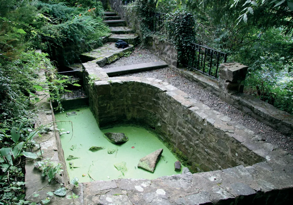
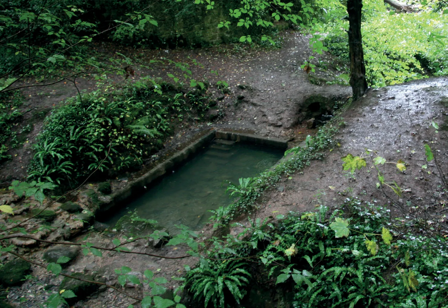
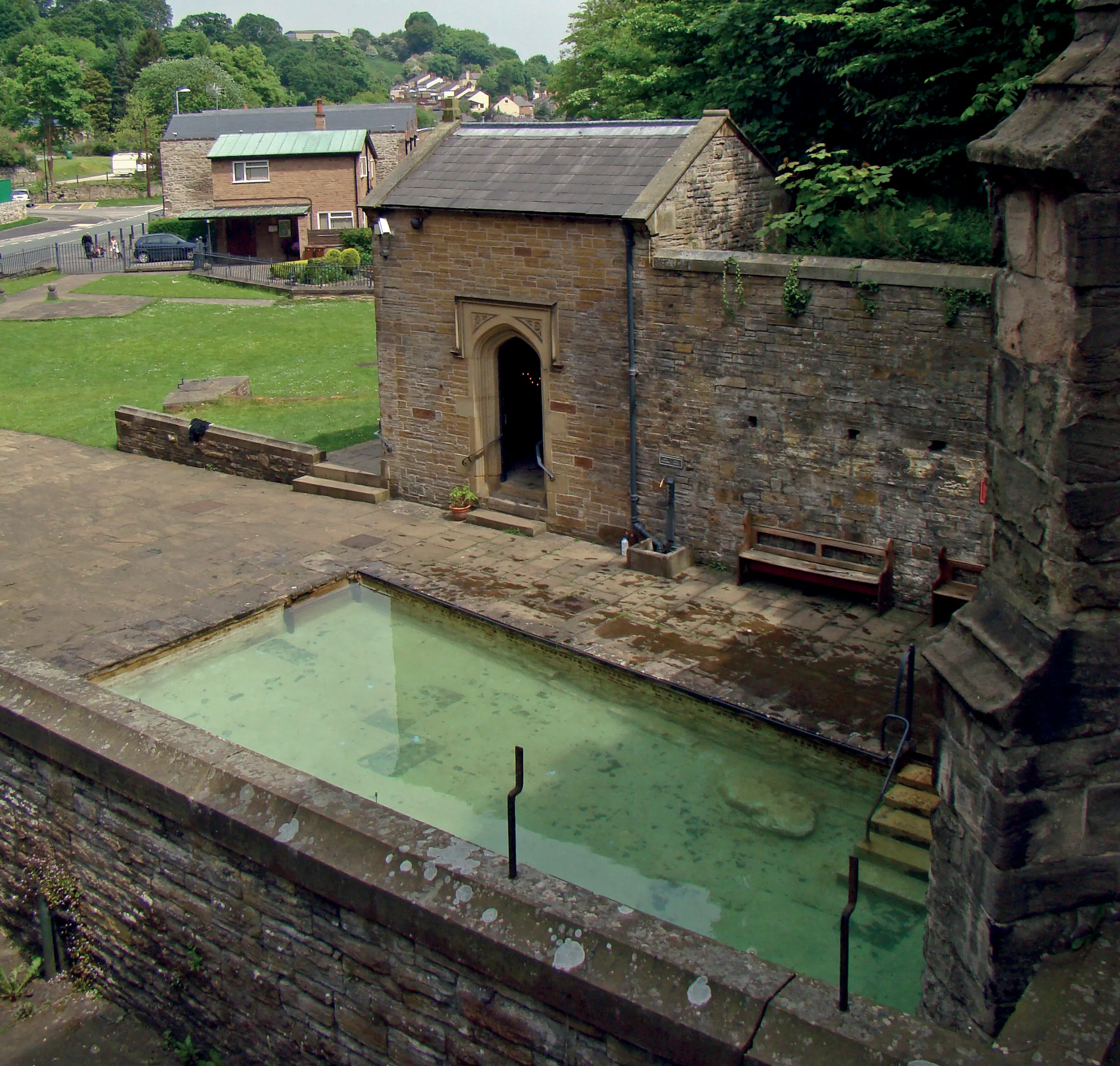
You start at the shrine and well of Penrhys and follow the mighty ridge way above the Rhondda Valleys to Margam Abbey. The Western route rolls with the Carmarthenshire hills, passing through Brechfa Forest and straight along the Roman road to the North Welsh coast. You can visit the abbeys at Whitland, Strata Florida and Cymmer, the Roman fort at Tomen-y-mur (location of the Mabinogion story of Lleu Llaw Gyffes) and Dolwyddelan Castle, traditional birthplace of the great Welsh ruler Llywelyn ab Iorwerth.
The question is: will you ever walk it all? Now there’s a challenge…
Highlights
- North Wales Pilgrims Way
- Offa’s Dyke
- Wye Valley
- As much of an understanding of Wales as you are likely to get
Low-cost pilgrim hostels along route (also on Google Map below):
YHA St Briavels; Pantygelli; Llanthony; YHA Kington; Rhayader; Oswestry; Llangollen; YHA Conwy; Conwy; Betws-y-Coed 1; Betws-y-Coed 2; Betws-y-Coed 3; Blaenau Ffestiniog; Blaenau Ffestiniog 2; YHA Dolgellau; Dolgellau; Machynlleth; Machynlleth 2; Tregaron; Brechfa; Carmarthen, YHA Manorbier and all hostels in region.

Route highlights

.svg)


Location

Nearby Places
Nearby Sanctuaries
.avif)
.svg)
Discover holy places, and bring your own beliefs.
Pilgrimage by foot is connected with places and landscape, and how those places make you feel. Read about holy places.
At the British Pilgrimage Trust, we believe a pilgrimage should be made on an individual’s own terms. We are founded on the principle that we can all bring our own beliefs to the journey, accessible and welcoming to all.


.svg)
Comments
0 Comments
Login or register to join the conversation.
Tom Jones
Lorem ipsum dolor sit amet, consectetur adipiscing elit. Suspendisse varius enim in eros elementum tristique. Duis cursus, mi quis viverra ornare, eros dolor interdum nulla, ut commodo diam libero vitae erat. Aenean faucibus nibh et justo cursus id rutrum lorem imperdiet. Nunc ut sem vitae risus tristique posuere.