.svg)

The Celtic Way
Wales


.svg)
The Celtic Way: Strumble Head, Pembrokeshire to St Michael’s Mount, Cornwall – 758 miles, 3 months
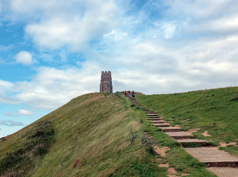
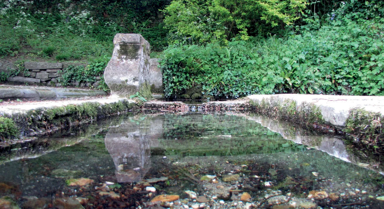
Long ago, Neolithic peoples gathered blue stone from the Preseli Mountains in Wales, and brought them over hill and vale to Stonehenge on Salisbury Plain. Centuries later, the peoples of Wales and “West Wales” (Devon and Cornwall) were united by a common Christian faith and a common language, quite apart from the pagan English. Ranging almost 800 miles from Strumble Head, near Fishguard in Wales, to the tip of Cornwall, this pilgrimage reflects this long history, allowing you to encounter hundreds of prehistoric and Christian sites through South Wales and the South West. It is based partly on the Lands End Way, with alternative routes over Exmoor or across Wessex also on offer. If you have a few months to spare, and want to connect with the ancient stones and sacred waters of Pembrokeshire, Stonehenge, Glastonbury and St Michael’s Mount, this may be for you.
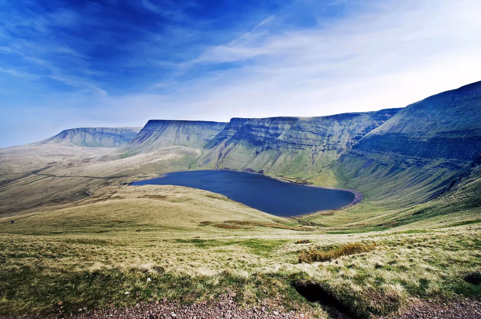
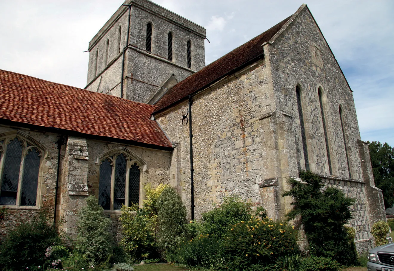
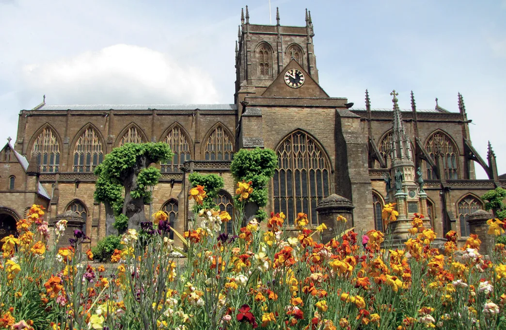
If you take on the challenge, you will encounter a kaleidoscopic array of wild landscapes. There are the majestic Preseli Hills, the wild Black Mountain range and lush Waterfall Country in Brecon Beacons, the geologically prehistoric Heritage Coast near Llantwit Major and Vale of Glamorgan. You exit Wales via ancient fortified sites before emerging in England, where you encounter the great prehistoric monuments of Avebury and Stonehenge, both World Heritage Sites, and the great Pagan and Christian pilgrimage site of Glastonbury and its springs, then Sherborne Abbey, the abbey and naked figure of the Giant carved into the chalk hillside at Cerne Abbas, the colossal Iron Age hill fort of Maiden Castle, then Exmouth, where the River Exe meets its end, across enigmatic Dartmoor and through magical Cornwall before arriving at the destination of St Michael’s Mount.
Highlights
- Incredible wild scenery
- Beautiful waterfalls and lakes
- Stone circles and burial chambers aplenty
- Getting to know the old Brythonic lands
The Treslothan Section of The Celtic Way
This description offered to us by Philip C Hills in 2024:
I miss you in the Reenes
Where we have hasted in the twilight dim
To wake the echos of the silent dell
And mark the silent glow-worm 'neath the hawthorns limb
I miss thee in the Reenes.
'On the Death of my daughter Lucretia' by John Harris
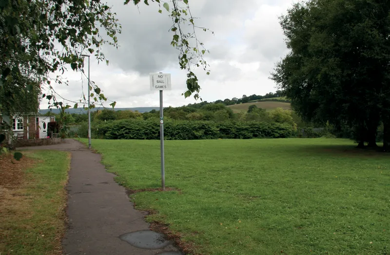
'The Celtic Way' enters Treslothan Parish near Condurrow and continues to the village of Camborne Beacon but a slight detour down a Bridleway from Condurrow brings you to the King Edward Mine Museum. Set in 22 acres of nature reserve there is a very popular cafe called 'Croust Hut'.
From here the 'Celtic Way' continues traversing a deep long wooded valley known as the Reens. They are Commonland giving the right to walk through them.
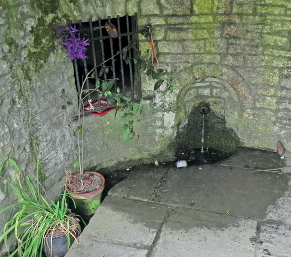
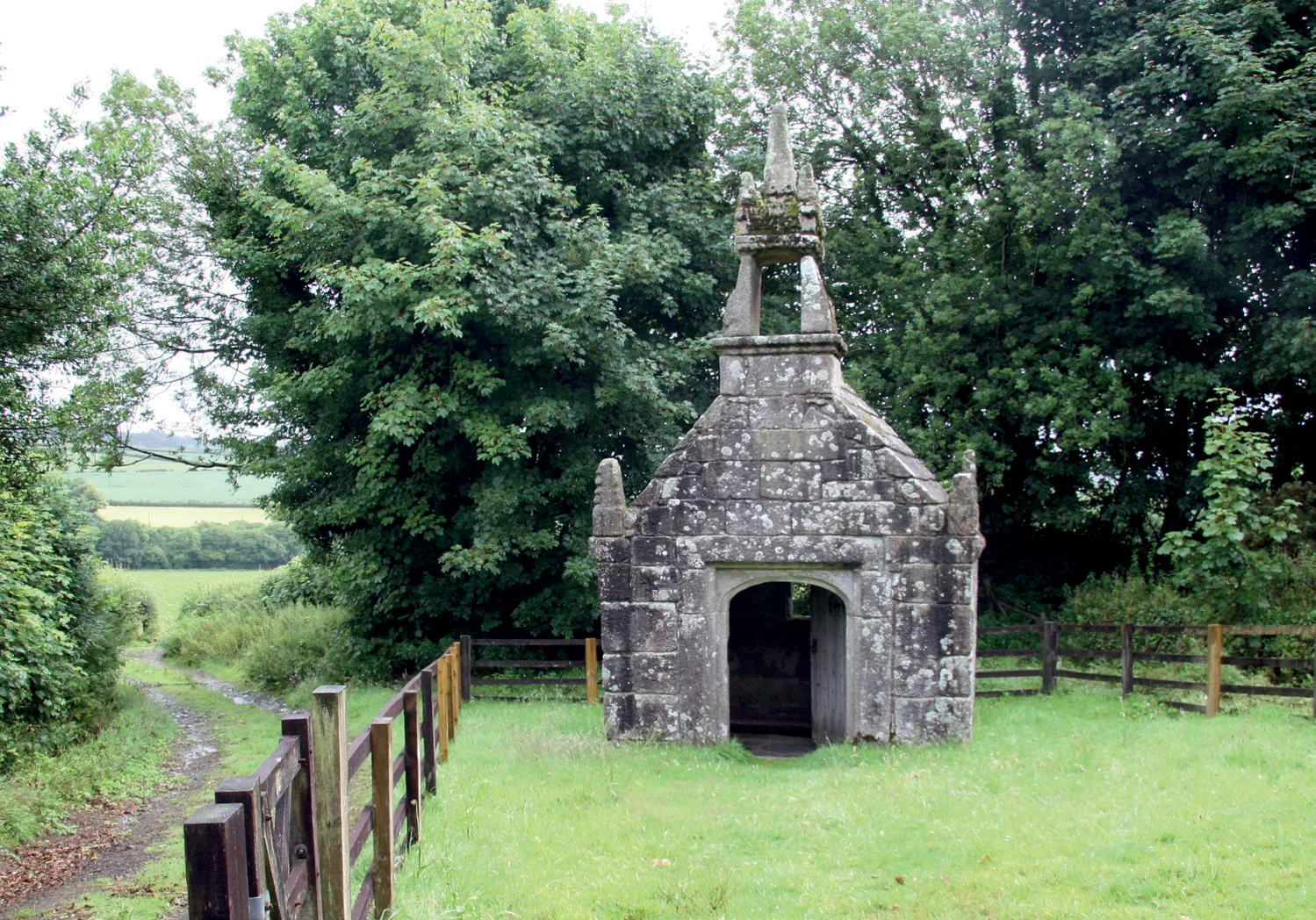
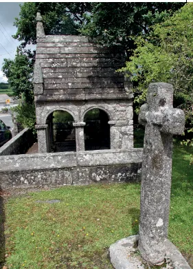
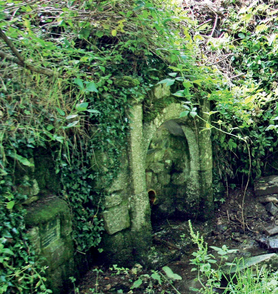
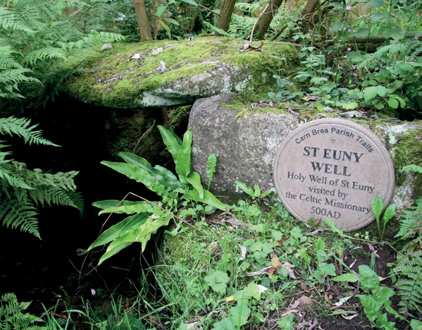
You can follow a path by the stream up Reen valley until there is a sudden shift of landscape from lowland shales and killas to the higher granites of the moors. This is marked by a large Tor of granite boulders. It was very likely a Druidic site and in the 5th century St. Ia founded her cell next to the boulders and waterfall.
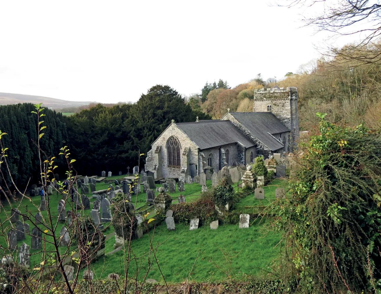
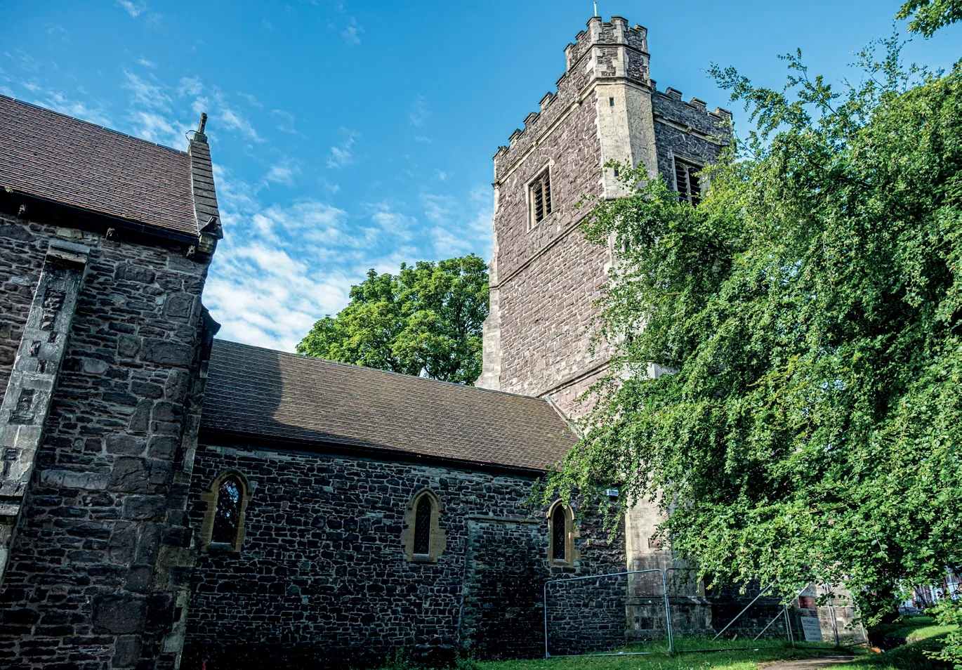
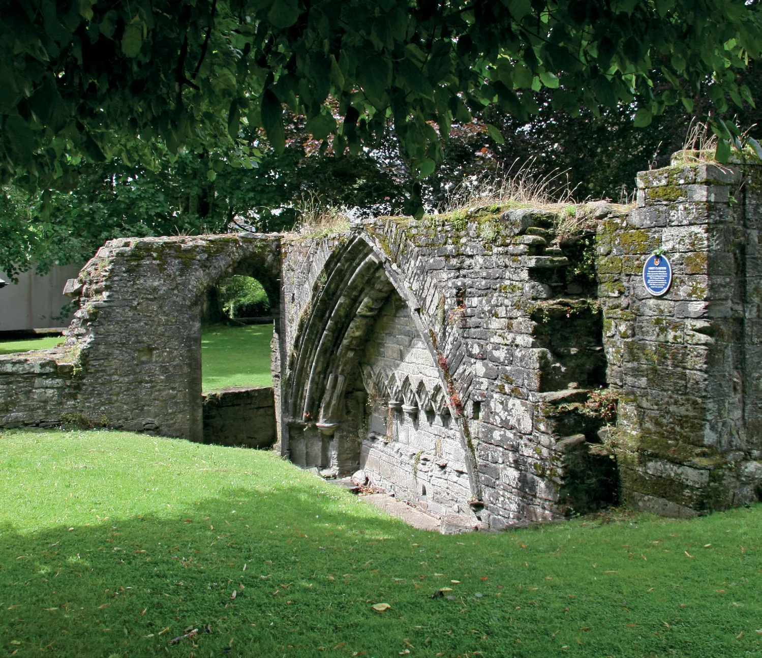
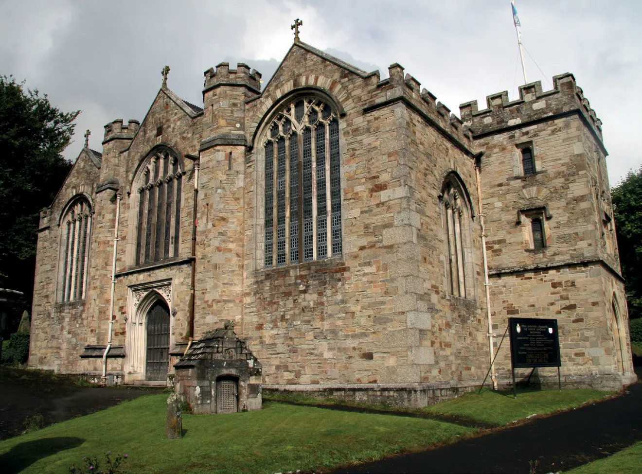
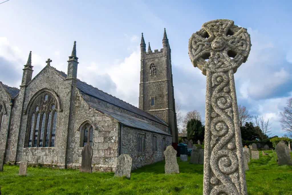
On the opposite side of the waterfalls lie steep high banks and on top of this lies the remains of an early medieval Chapel of St. Ia. The area is now a National Monument. Back to the 'The Celtic Way' we cross the fields to the beautiful hamlet of Treslothan where we find 'The Church in the Woods'.
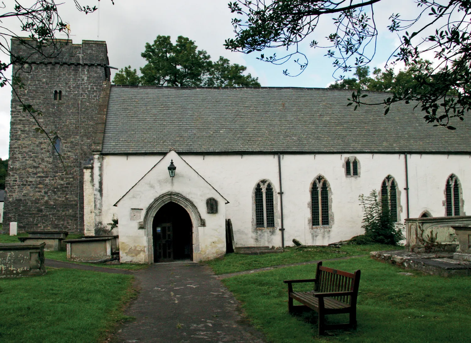
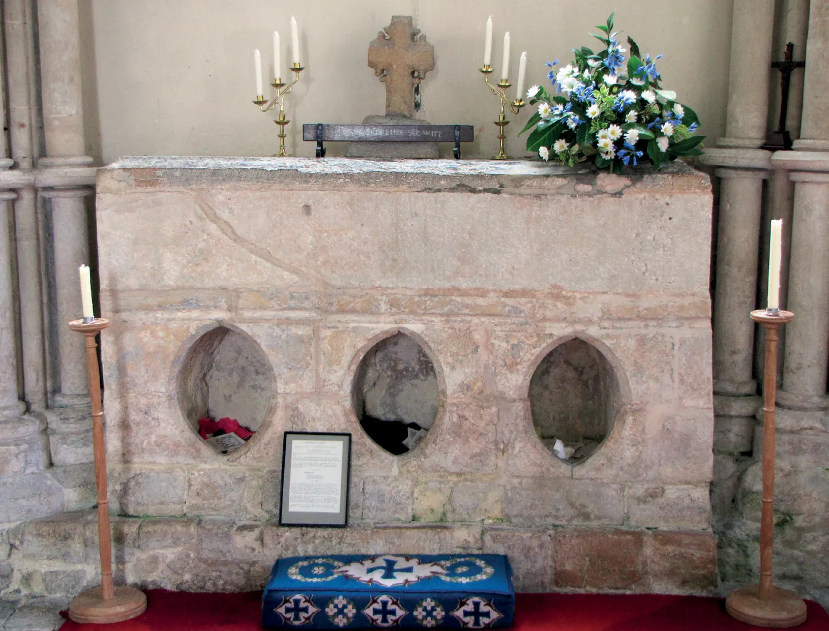
The Church of St. John was rebuilt in the 1830s but It is said to be built on the former Chapel of St. James, the patron saint of Pilgrimages.
To start the last section of the 'Celtic Way' from Treslothan to St. Michael's Mount is ideal and makes it a good place to stay with people providing bed and breakfast.
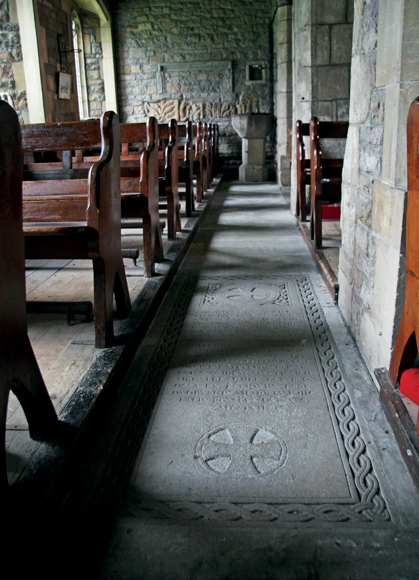
Near to the Church in the Cemetery can be found the memorial to the 19th century Cornish Poet John Harris. Follow 'The Celtic Way' down hill that takes you into the Frying Pan Field. Here you will find the dramatic Carwynnen Quoit.

Holy Places along The Celtic Way
All in our book Britain’s Pilgrim Places: Llanwnda; Llandeilo; Llantwit Major; Caerleon; Caerwent; Mathern; Beachley; Glastonbury; Sherborne; Cerne Abbas; Tavistock.
Low-cost hostels along the route
YHA Pwll Dewi, Fishguard, YHA Newport, Brechfa, YHA Llandeusant, Chepstow, Stonehenge, YHA Street, YHA Litton Cheney, YHA Beer, YHA Dartmoor, YHA Perranport, YHA Portreath, Penderleath, YHA Penzance and across Welsh region and South-West England region.
The official Celtic Way website
Read more about The Celtic Way on the official website.

Route highlights

.svg)


Location

Nearby Places


.jpg)
Nearby Sanctuaries
.avif)
.svg)
Discover holy places, and bring your own beliefs.
Pilgrimage by foot is connected with places and landscape, and how those places make you feel. Read about holy places.
At the British Pilgrimage Trust, we believe a pilgrimage should be made on an individual’s own terms. We are founded on the principle that we can all bring our own beliefs to the journey, accessible and welcoming to all.


.svg)
Comments
0 Comments
Login or register to join the conversation.
Tom Jones
Lorem ipsum dolor sit amet, consectetur adipiscing elit. Suspendisse varius enim in eros elementum tristique. Duis cursus, mi quis viverra ornare, eros dolor interdum nulla, ut commodo diam libero vitae erat. Aenean faucibus nibh et justo cursus id rutrum lorem imperdiet. Nunc ut sem vitae risus tristique posuere.